more to explore.
All Works
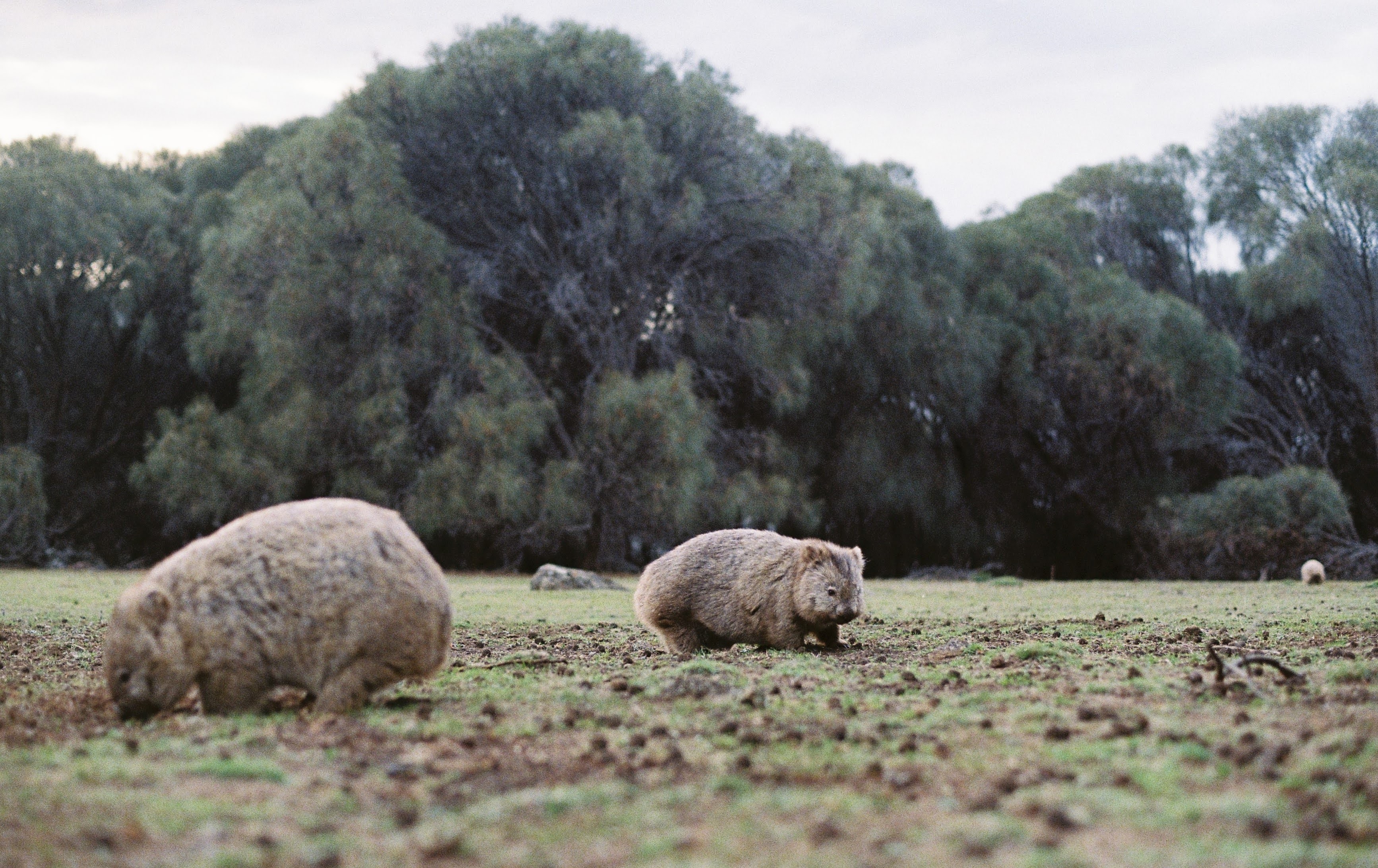
I work with spatial and environmental datasets to streamline workflows and build dashboards that support research processes and evidence-based decision making. This includes data cleaning, spatial analysis, and interactive visualisation to present results in clear and interpretable formats that supports the long-term management of data.
I use a combination of open-source platforms such as R, RShiny, QGIS, and Open Data Kit (ODK) to distil complex ecological data into engaging, visually driven outputs. Where possible, I build interactive dashboards so that outputs can be explored (and understood) by non-technical stakeholders from land managers to community groups.
My focus is always on making the data tell a clear story, one that is both interpretable and impactful.
example.
Note on data privacy — Due to confidentiality agreements with partner organisations, only a limited demonstration of this work can be shown publicly. Full datasets, client dashboards, and project outputs are available for discussion upon request.
tools & methods.